Oil&gas exploration
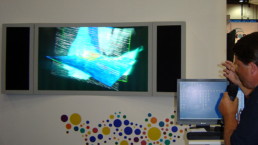
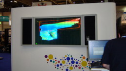
3D visualization plays an ever increasing role in the field of exploration and production. Correlating the underground data with the surface landscape, modeling the flow of oil, the analysis of the impact of different drilling techniques or generally the interpretation of seismic data by means of 3D systems have become essential to enchance productivity. By visualizing integrated data sets of various kinds in 3D, geologists, geophysicist and decision makers are provided with more comprehensive and more reliable models.
If you have questions regarding compatibility, please check Software overview, contact us via contact form or write to ![]()
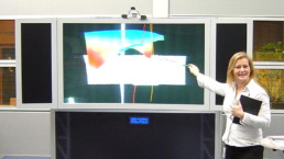
- "True" 3D image visible to naked eye, enabling continuous work without eye strain
- Multi-user environment enabling collaborative assessment
- Decreased number of uncertainties
- 3D seismic interpretation of workflow process
- Support for custom OpenGL-based third party software applications